CHICAGO — The same rains that cooled down blistering temperatures and brought relief to most Chicagoans raised alarms for residents along the North Branch of the Chicago River.
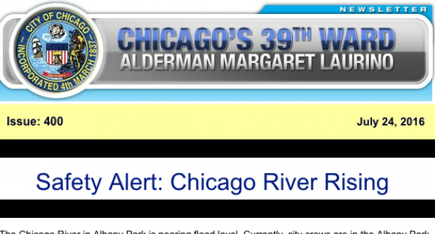
On Sunday night, Ald. Margaret Laurino (39th) and Deb Mell (33rd) issued safety alerts to constituents in Albany Park and North Park, warning of a potential flood threat.
As a precautionary measure, residents within a block of the river were asked to relocate their vehicles in order to avoid damage from flood waters.
The river has been lying low most of the summer, barely topping a foot as recently as last Thursday. But with heavy storms on Saturday and Sunday, the river rose precipitously, climbing to five feet (considered "action" level) by Sunday morning and maxing out at 6.24 feet late Sunday.
Mell shared video of the rising waters via Twitter.
North branch river Albany Street. https://t.co/28NStbYkXC
— Deb Mell (@debmell) July 25, 2016
Flood level is seven feet, which the river topped in 2008 and 2010. In April 2013, the river crested at 8.85 feet, causing massive flooding that saw some folks evacuated from their homes by boat in Albany Park and North Park.
Posting to its Facebook page, Albany Park Neighbors reported minimal impact "even in the areas near Eugene Field Park which traditionally flood."
The community group did note that the bike path through Eugene Field, between Central Park and Ridgeway, is blocked by concrete "jersey" barriers as a flood-prevention measure.
The jersey barriers are a stop-gap fix, announced in March, to protect the most vulnerable homes along the river while a stormwater diversion tunnel is under construction.
Designed as a passive system, the tunnel will make use of gravity to divert stormwater from the river, bypassing Albany Park, and moving it downstream to an outlet shaft that will spit the water into the North Shore Channel.
Eighteen feet in diameter and a mile long, the tunnel will run 150 feet under Foster Avenue.
The tunnel was proposed in 2013 and mobilization for construction is underway. Drilling of the tunnel is expected to commence in late summer or early fall and the project should be complete by the end of 2017.
Chicago River levels can be tracked online, with forecasts issued during times of high water. Current projections have the river falling to under two feet by mid-week.
RELATED:
Flood Wall Proposed While Albany Park Tunnel Under Construction
Construction Underway On Albany Park Storm Water Diversion Tunnel
What's With The Construction Fence At River Park? It's Gonna Be A Blast
For more neighborhood news, listen to DNAinfo Radio here:


