CHICAGO — Brace yourselves: Meteorologists say the polar vortex is back with a vengeance.
The worst cold will be felt in Chicago beginning Tuesday and will continue through the rest of the week and possibly the weekend, according to a statement from Accuweather.com.
"It doesn't mean we’re going to see conditions as cold as we saw during the heart of winter last year, but we will see well-below normal temperatures," said Kevin Birk, meteorologist with the National Weather Service.
That means temperatures during the days could be at or below the freezing mark, and overnight lows will dip into the low-to-mid 20s in Chicago, and the teens for the outlying areas, Birk said.
Kyla Gardner explains why the vortex is back:
The cold snap could start with overnight snow on Monday, he added.
The Accuweather statement predicted single-digit temps for portions of the Midwest and possible snow, flurries, and squalls with winds moving over the Great Lakes. More Central and Eastern states will also be hit with the vortex between Sunday and Nov. 14.
A polar vortex is "a large pocket of very cold air, typically the coldest air in the Northern Hemisphere," that can get "dislodged" and head farther south than normal, according to AccuWeather.com.
Birk said polar vortexes have been around for a long time — it's usually what's happening where there is an especially cold and extended cold snap.
"It's not incorrect to use the term polar vortex," Birk said. "I think that term just got a lot more publicity just because it was so so cold last year."
This polar swing can be traced back to Typhoon Nuri, which curved east of Asia earlier this week, according to AccuWeather.
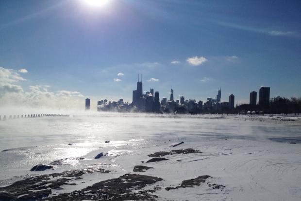
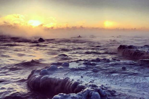
If you have a short memory, here are some scenes from last year's "polar vortex":


For more neighborhood news, listen to DNAinfo Radio here:


