To every season, turn turn turn.
With fall starting Thursday, fall foliage season is just getting started in New York state, and there's a handy map to show you where to go for optimal viewing.
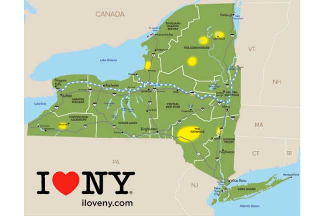
The map and New York Fall Foliage Report, recently announced by Gov. Andrew Cuomo, helps intrepid New Yorker and tourists find the best place to chase the changing leaves from the Adirondacks to the Catskills.
(Credit: This Is New York)
The map, which is updated every Wednesday evening through the fall, ranks the leaves in different areas as no change, just changing, mid-point, near peak, peak and past peak.
► READ MORE: The Best Apple Picking Spots Near NYC
When the season started, leaf spotters reported that there was already about 15 percent leaf change in the Tupper Lake/Mt. Arab area with leaves turning mustard and copper, according to the fall foliage report website. A few other scattered areas are showing a 10 percent change.
If you can't get out of the city but still want a fall foliage escape, you can check out the I Love New York Instagram featuring photos from peak leaf peeing areas.