LOWER MANHATTAN — Where exactly does TriBeCa end and the Financial District begin? What about Battery Park City, or the Seaport and Civic Center?
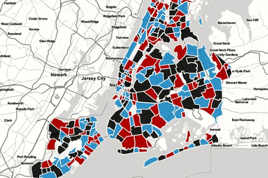
As most residents can attest to, the borders of Lower Manhattan's neighborhoods are often up for debate, and seem to be changing. With DNAinfo's interactive map, we're asking you to tell us: Where exactly is your neighborhood?
"TriBeCa's borders maybe the most disputed," said Diana Switaj, Manhattan Community Board 1's director of planning and land use. "Real estate developers, in particular, love to say that their new building is in TriBeCa, so the borders seem to keep edging further south and east."
CB1, which has separate committees for each Downtown neighborhood, has its own map of Lower Manhattan. TriBeCa's somewhat jagged borders, according to CB1, are Canal Street to the north, West Street to the west, and over to Lafayette Street to the east — but just above Leonard Street. Below Leonard Street, the eastern edge is Broadway, with the neighborhood's southern most boundary at Murray Street.
So far, the majority of people who've tried their hand at the map seem to place the southern border lower at Barclay Street.
What do you think? Draw your neighborhood boundaries below. When you're done, you'll get to see where others have made their borders. And soon, we'll share the results of the boundary drawing.


