QUEENS — Where does Jamaica begin and end?
It depends who you ask.
Some define it strictly as downtown Jamaica, stretching along the commercial portion of Jamaica Avenue, roughly between the Van Wyck Expressway and 168th Street.
But others prefer to see the neighborhood as part of the Greater Jamaica area, where the former Town of Jamaica once was. Currently, the neighborhoods located within that area also include St. Albans, South Jamaica, Rosedale, Springfield Gardens, Hollis, Cambria Heights, Laurelton, Queens Village, Ozone Park, Howard Beach and Richmond Hill.
Still others consider Briarwood, Jamaica Hills and Jamaica Estates part of Jamaica, because they share the same zip codes — 11435 and 11432.
Yvonne Reddick, district manager for Community Board 12 said that, in her opinion, Jamaica is bordered on the west by the Van Wyck Expressway, on the east by Francis Lewis and Springfield boulevards, on the north by Hillside Avenue and on the south by North Conduit Avenue.
But Rhonda Binda, executive director of the Jamaica Center Business Improvement District, defined it differently.
In her opinion, Jamaica stretches between “the four transportation hubs and the two colleges that create the heart of the downtown,” she said, referring to York College and St. John’s University, as well as to the AirTrain and Long Island Rail Road station on Suthpin Boulevard, the Jamaica Center station on Archer Avenue and Parsons Boulevard, Merrick Boulevard and the intersection of 179th Street and Hillside Avenue.
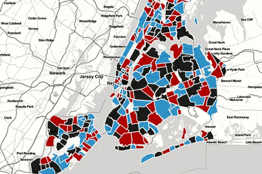
What do you think? Use our map to draw out Jamaica's boundaries and check where other residents have drawn them upon completion.


